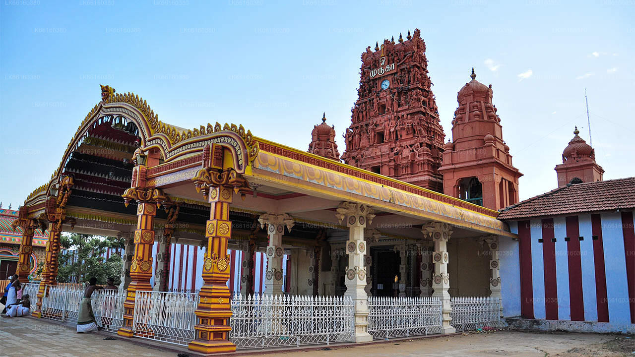
Mullaitivu


Mullaitivu (Tamil: முல்லைத்தீவு, Sinhala: මුලතිව්, ) is the main town of Mullaitivu District, situated on the north-eastern coast of Northern Province, Sri Lanka. A largely fishing settlement, the town in the early twentieth century grew as an anchoring harbour of the small sailing vessels transporting goods between Colombo and Jaffna. The town has a District Secretary's office, many other government institutions and schools located in and around the area.
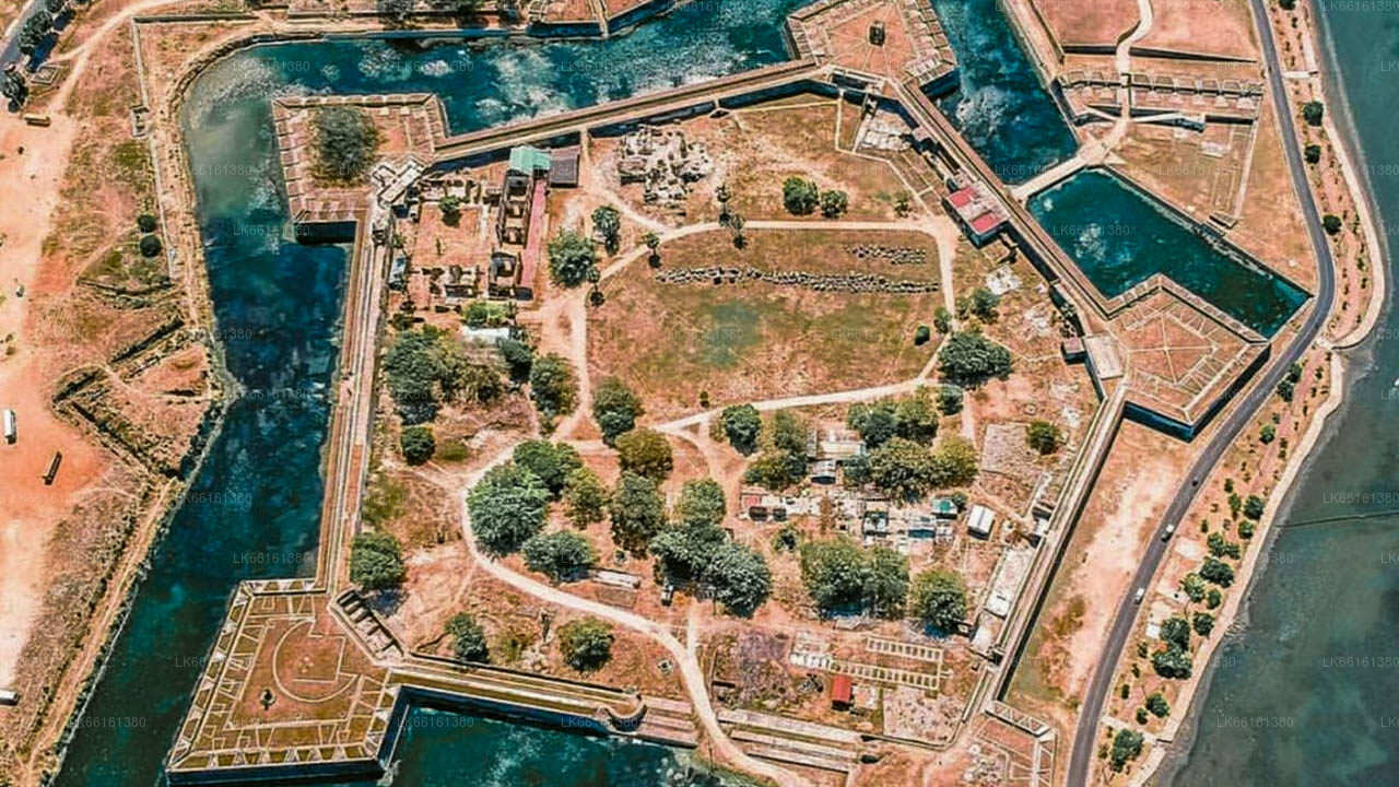
During the Kandyan Wars, the British government house in Mullaitivu was attacked by forces of Pandara Vanniyan and Dissava of Nuwara Kalawiya and lay siege to the fort. Captain Drieberg with his force of Malays escaped from the fort in boats and reached Jaffna. During the Sri Lankan Civil War, Mullaitivu became an isolated base for the Sri Lankan armed forces. In a pitched battle the LTTE succeeded in over running the base in 1996. Following this the Sri Lankan armed forces withdrew from Mullaitivu which allowed the LTTE to gain control of the area. It was damaged by the 2004 Indian Ocean tsunami with a large loss of life. The Sri Lankan Army took control of the town on January 25, 2009, in the Battle of Mullaitivu in its offensive against the LTTE. Security Forces Headquarters – Mullaitivu was established on June 5, 2009 in the town.
About Mullaitive District
Mullaitivu District is one of the 25 districts of Sri Lanka, the second level administrative division of the country. The district is administered by a District Secretariat headed by a District Secretary (previously known as a Government Agent) appointed by the central government of Sri Lanka. The capital of the district is the town of Mullaitivu.
Parts of present-day Mullaitivu District was part of the pre-colonial Jaffna kingdom. The district then came under Portuguese, Dutch and British control. In 1815 the British gained control of the entire island of Ceylon. They divided the island into three ethnic based administrative structures: Low Country Sinhalese, Kandyan Sinhalese and Tamil. The district, which was then part of Vanni District, was part of the Tamil administration. In 1833, in accordance with the recommendations of the Colebrooke-Cameron Commission, the ethnic based administrative structures were unified into a single administration divided into five geographic provinces. Vanni District, together with Jaffna District and Mannar District, formed the new Northern Province.
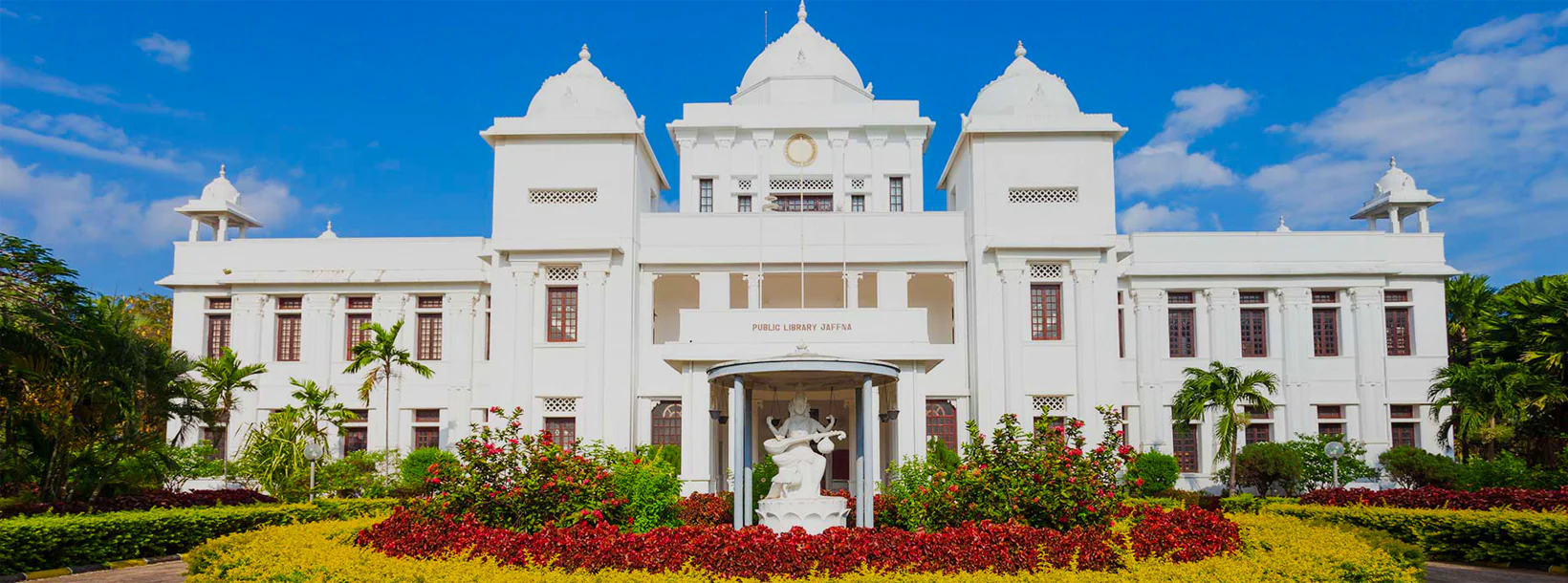
About Northern Province
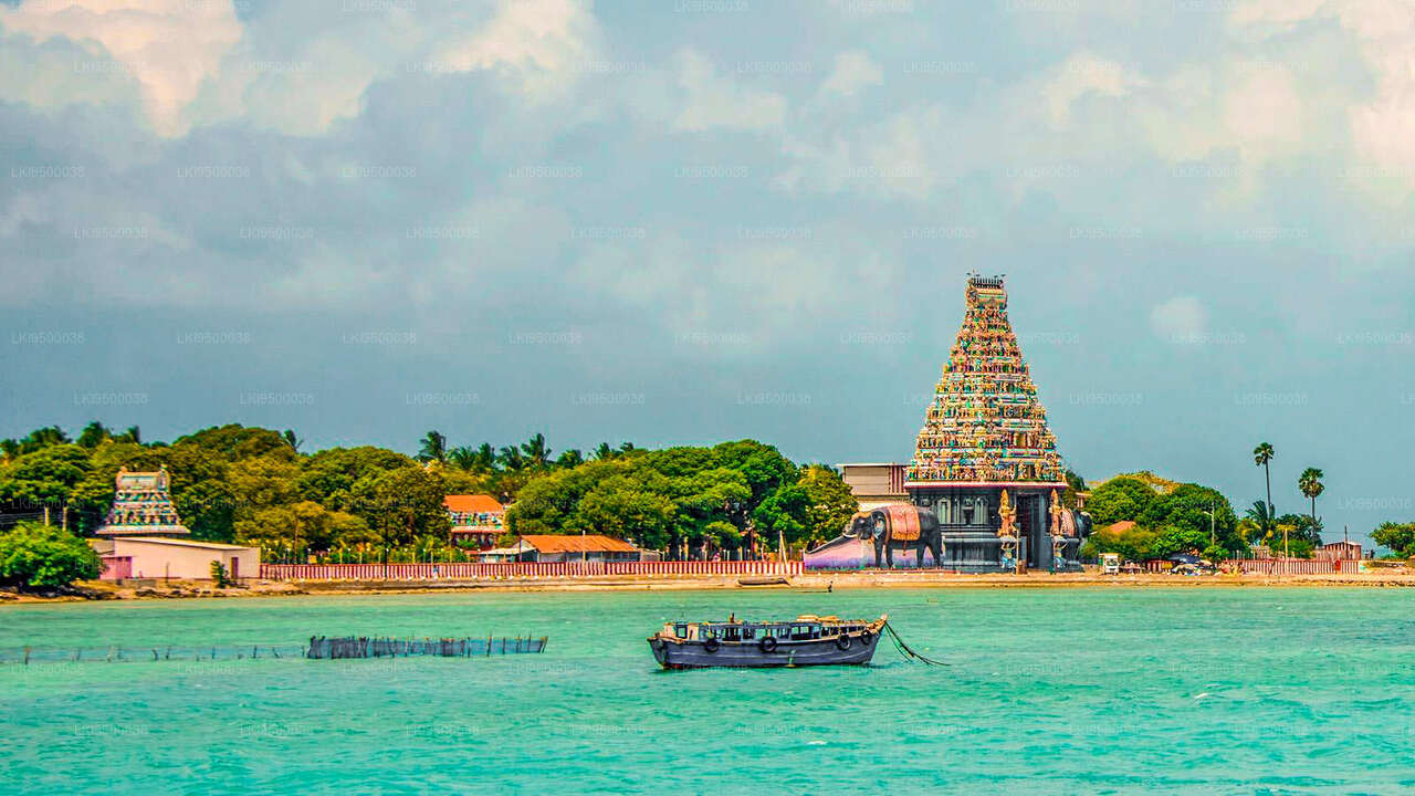
The Northern ProvinceNorthern Province is located in the north of Sri Lanka just 35 km from India. It has a land area of 8,884 km’. The province is surrounded by the Gulf of Mannar and Palk Bay to the west, Palk Strait to the north west, the Bay of Bengal to the north and east and the Eastern, North Central and North Western provinces to the south. The Northern Province of Sri Lanka is comprised of five administrative districts: Jaffna, Kilinochchi, Mulaitivu, Vavuniya and Mannar while Jaffna being the provincial capital which is the administrative headquarters of the Jaffna districtlocated on a peninsula of the same name.