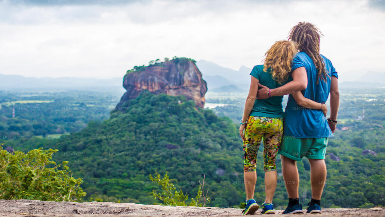
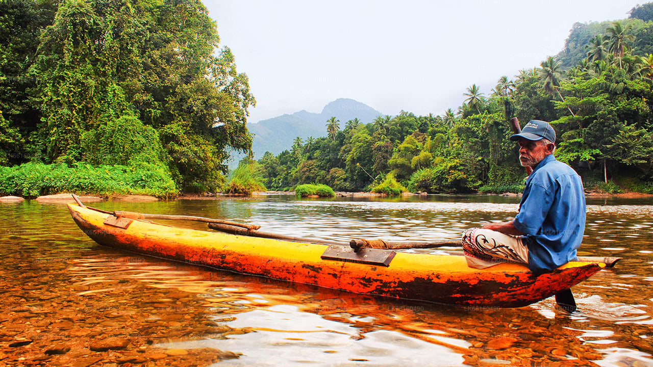
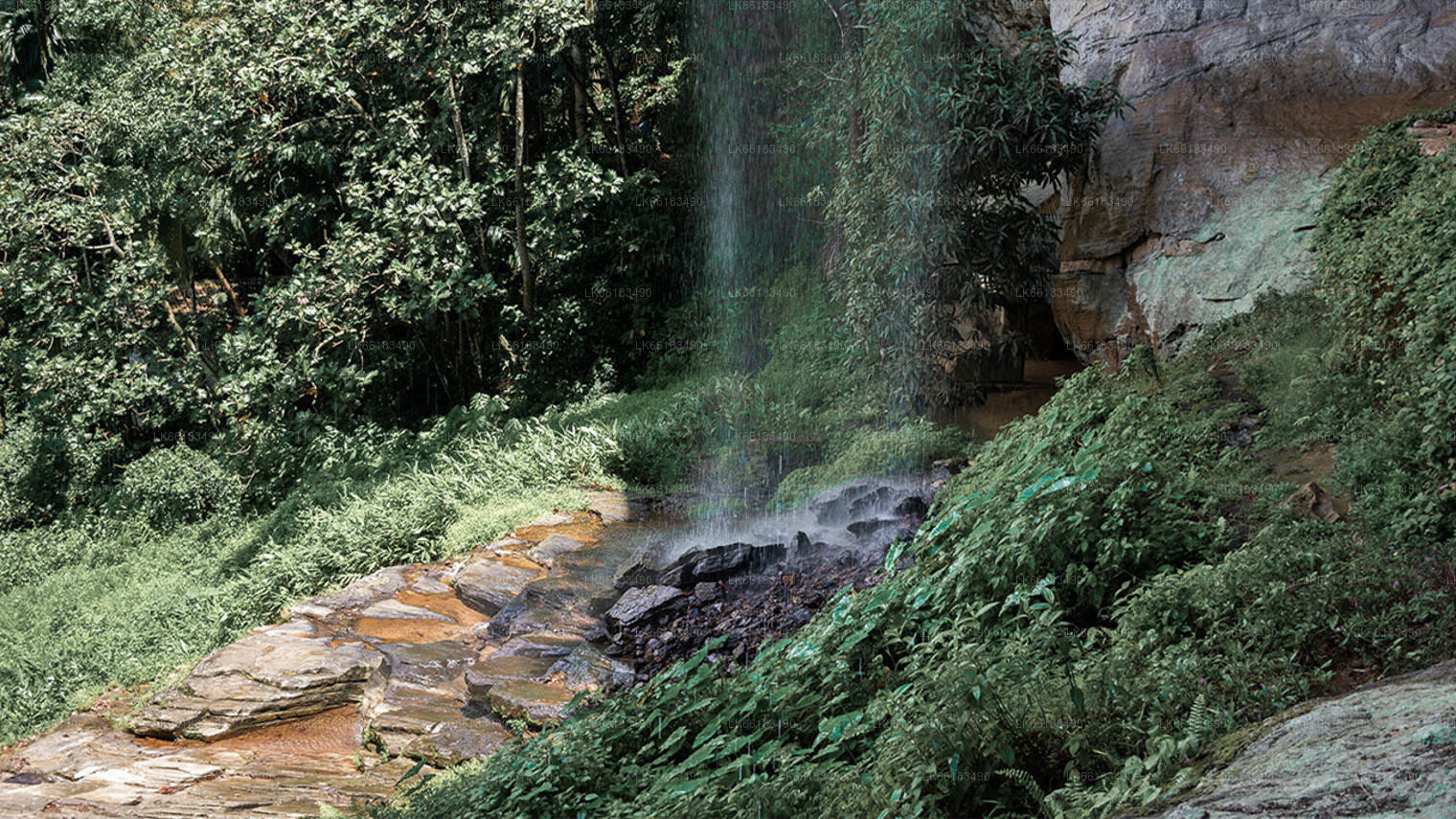
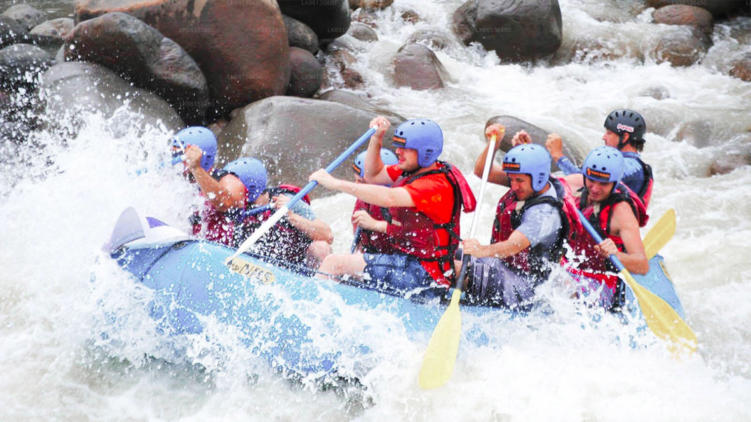
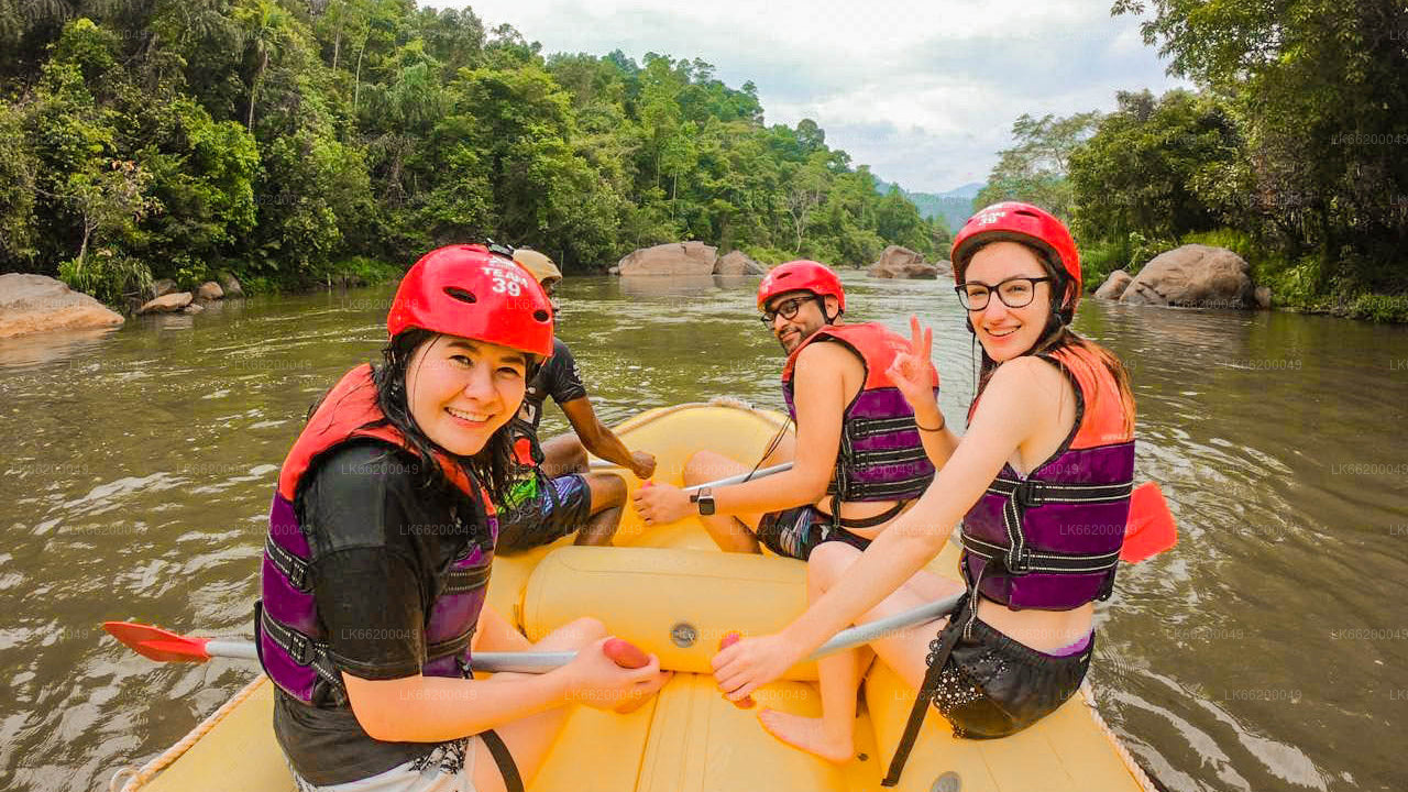
Kitulgala is a picturesque town in Sri Lanka, renowned for its lush greenery and adventure activities. Nestled amidst the verdant hills, it is famous for white-water rafting on the Kelani River, where scenes from the film "The Bridge on the River Kwai" were shot.
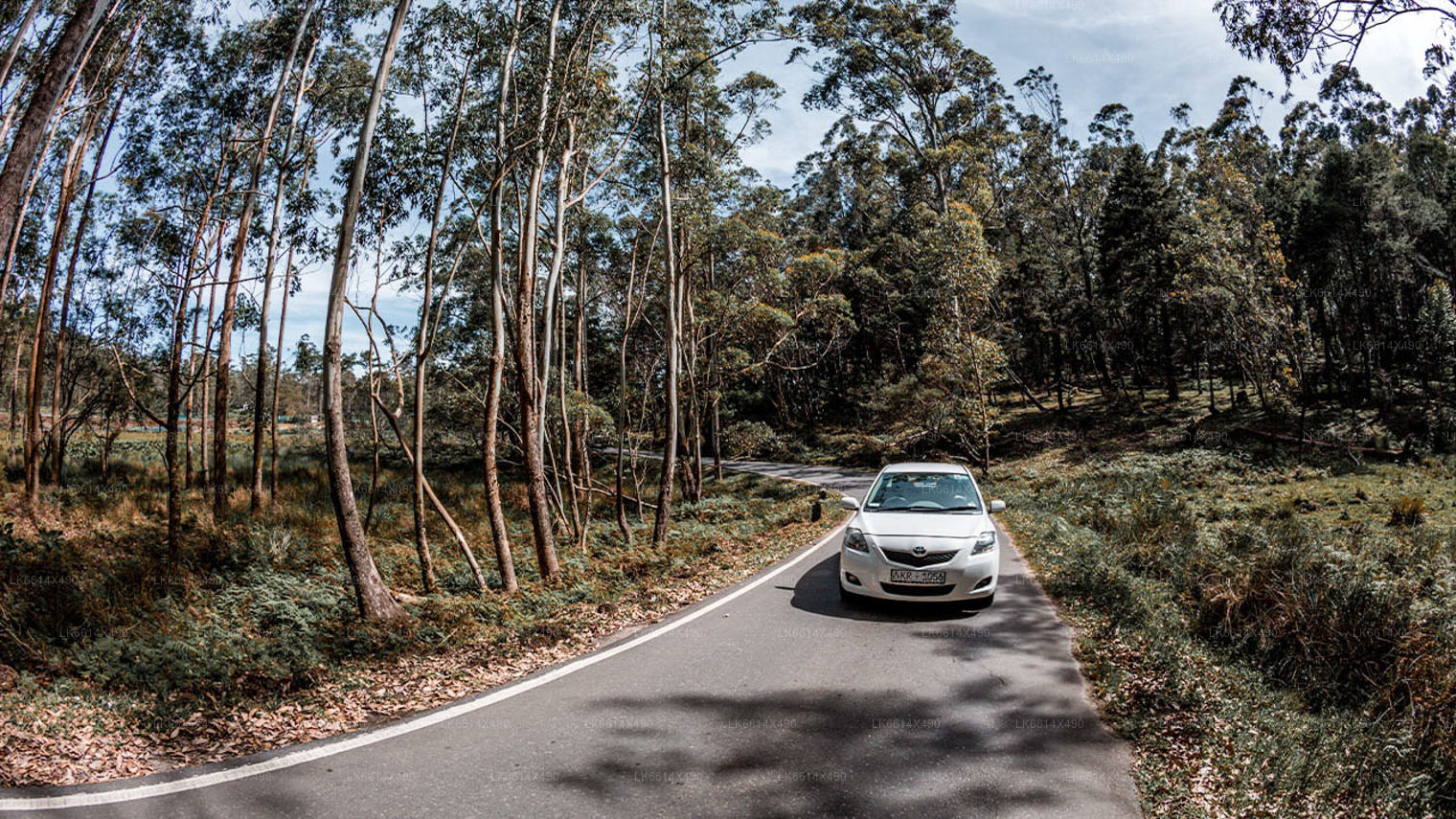
Kitulgala is located 95km away from Colombo, in the Sabaragamuwa Province.Kitulgala is reached by Colombo-Avissawella-Hatton main motor road. Being set about halfway along the Hatton of Central Highlands of Sri Lanka to Avissawella of low lands of Sri Lanka, Kitulgala is surrounded by wooded hills making way to the swift waters of River Kelani Ganga. Kitulgala is Sri Lanka's foremost tourist attraction of those who venture into white water rafting. Kitulgala. The nature, birdlife and white water rafting attraction of Kitulgala. Though Kelani River is broad at Kitulgala, it is shallow in most of the areas providing safe locations to swim and enjoy the waters and surroundings especially in the first three months of the year. The name of Kitulgala is derived from the Kitual Palm tree (Sinhala: Sago Palm tree) that abound in the village of Kitulgala. Kitul palm syrup is used to prepare numerous traditional Sinhalese sweets.
Numerous varieties of Banana together with other fruits and vegetable are grown in the village of Kitulgala. The restaurants and Hotels at Kitulgala are famous for traditional Sinhalese rice and curry supplemented by the dessert of curd sweetened with Kitul palm honey. Beli Lena caves, 8km from Kitulgala revealed the remains (ten skeletons) of "Balangoda Man", Sri Lanka's oldest inhabitant, deduced to have lived there 32,000 years ago.
Kegalle is a town in Sabaragamuwa Province of Sri Lanka. It is located on the Colombo - Kandy road and 48 miles/78 km away from Colombo and 24 Miles/40 km away from Kandy. It is the Capital City of the Kegalle District which is one of the two districts belonging to Sabaragamuwa province the other being Ratnapura District.
District of Kegalle, situated in between the central highlands and western southern planes and has an enchanting environment. Height of the western region is less than 500 feet from the sea level while eastern region exceeds 1000 feet. Rubber cultivation has stretched over most of the area of the District and minor export crops such as coffee, cocoa, pepper, clove and nutmeg takes an important place in the economy of the District. Sri Lanka's best graphite mine is situated at Bogala in Kegalle District. The extent of the District is 1692.8 km2 (169,280 in hectares).
Kegalle is a town in Sabaragamuwa Province of . It is located on the Colombo - Kandy road and 48 miles/78 km away from Colombo and 24 Miles/40 km away from Kandy. It is the Capital City of the Kegalle District which is one of the two districts belonging to Sabaragamuwa province the other being Ratnapura District.
District of Kegalle, situated in between the central highlands and western southern planes and has an enchanting environment. Height of the western region is less than 500 feet from the sea level while eastern region exceeds 1000 feet. Rubber cultivation has stretched over most of the area of the District and minor export crops such as coffee, cocoa,pepper,clove and nutmeg takes an important place in the economy of the District. Sri Lanka's best graphite mine is situated at Bogala in Kegalle District. The extent of the District is 1692.8 km2 (169,280 in hectares).
About Sabaragamuwa province
The Sabaragamuwa province of Sri Lanka contains two main cities called Ratnapura and Kegalle. At an elevation of approximately 500 feet above sea level, Ratnapura is the provincial capital of Sabargamuwa. It is 60 miles (100 km) from the main coastal city of Colombo. Province of Sabaragamuwa The gem-mining centre of Sri Lanka is also a major crossroad between southern plains and the hill country to the east.
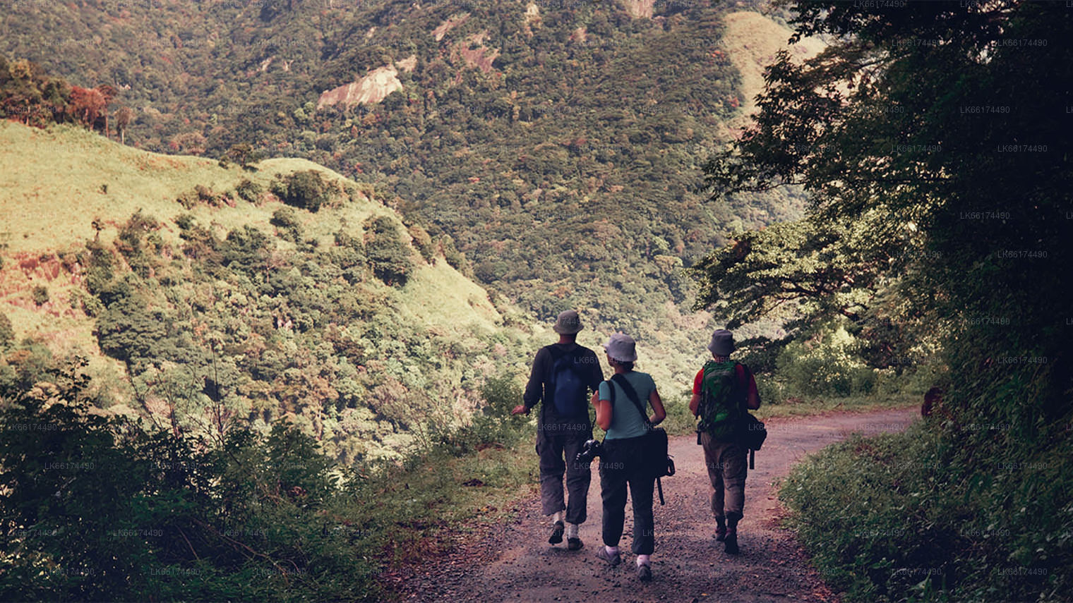
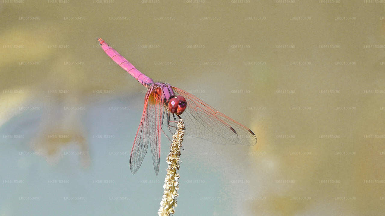
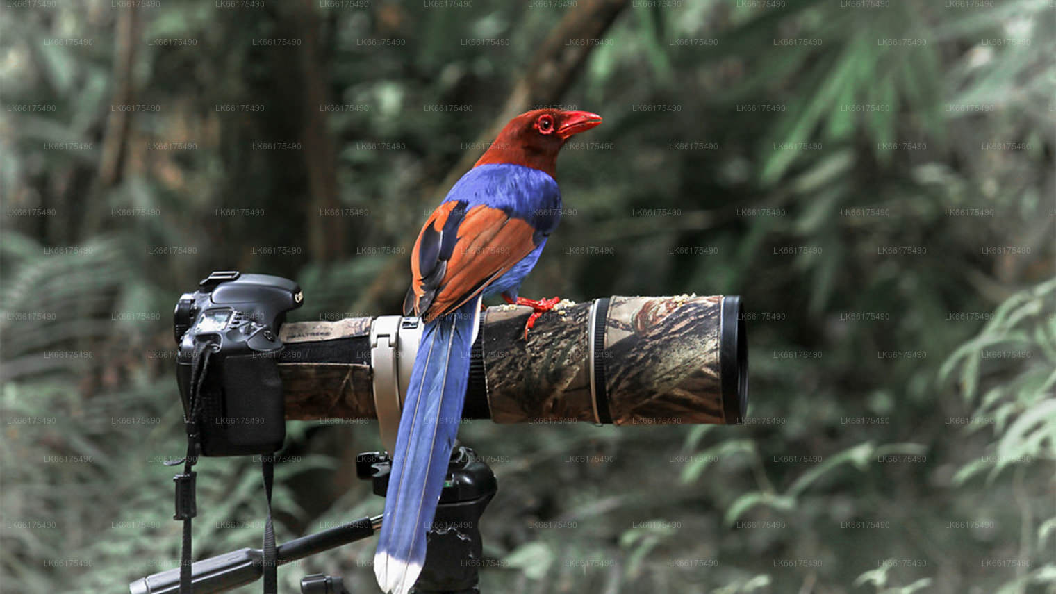
In Sabaragamuwa province there is a route to Sri Pada from Ratnapura direction. Excursions include Sinharaja Forest Reserve and Udawalawe National Park. The route towards hill country is beautiful. The surrounding area is a popular trekking destination and a good place for bird watching.