Pattipola
About Pattipola
Pattipola is one of very beautiful villages with highland of spectacular scenery of Sri Lanka which is situated at the region of Central. Central's capital Kandy is approximately 113 km away from Pattipola. The distance from Pattipola to Sri Lanka's capital Colombo is approximately 224km.
Reach to Pattipola
People can reach main motor road from Colombo as well as by the highland railway line from Colombo to the Pattipola Railway Station.
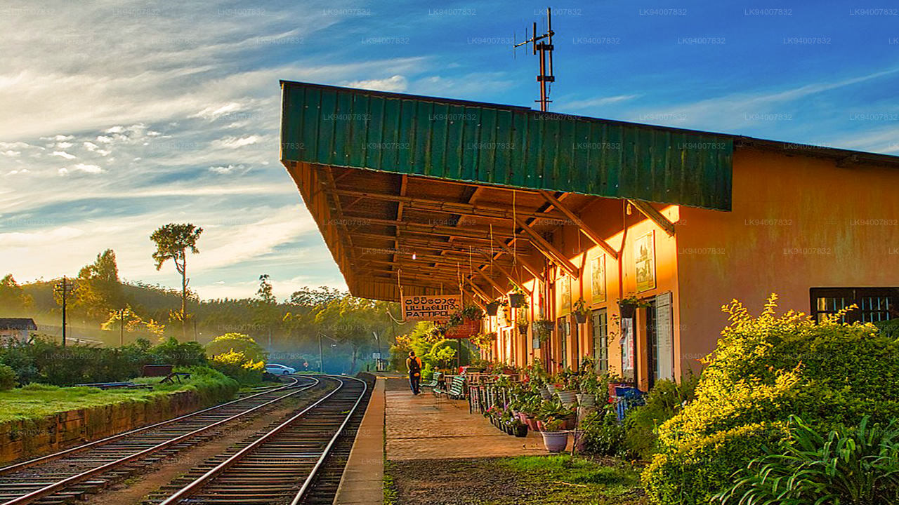
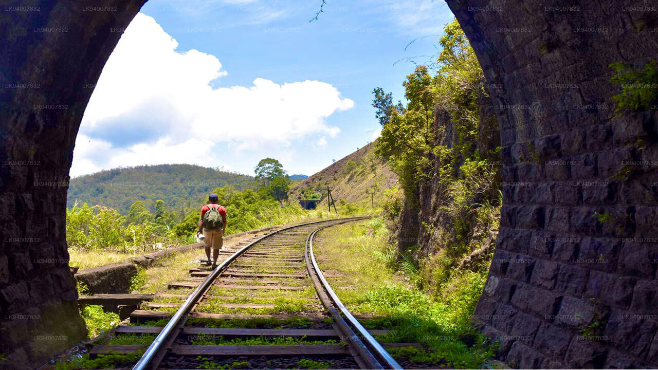
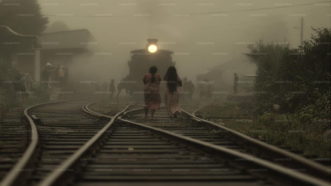
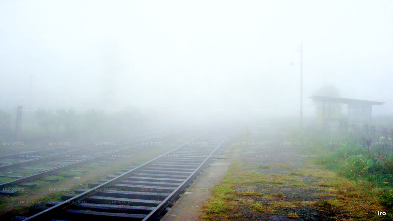
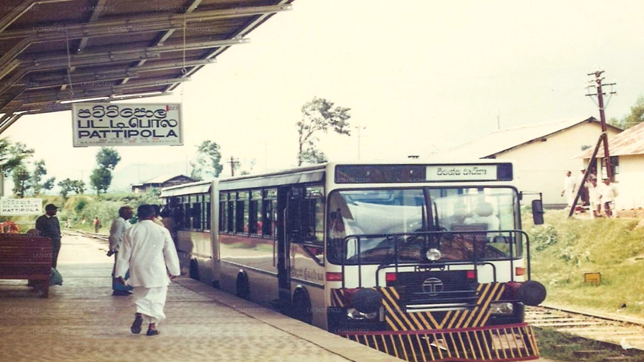
Pattipola Railway Station
Pattipola Railway Station is one of a Sri Lankan most famous railway station, 224km away from Colombo Fort and located between Ambewela railway station and Ohiya railway station on the Main Line in Nuwara Eliya district in Central province as well as it is the highest railway station in Sri Lanka with an elevation of 1,897.5 m (6,225 ft) high above mean sea level.Pattipola railway station is the 62nd station on the Main Line, and is 224 km (139 mi) away from Colombo.The station has one platform with a second track as a siding loop. All the trains that run on the Main Line, including the Podi Menike and Udarata Menike express trains stop at the station.
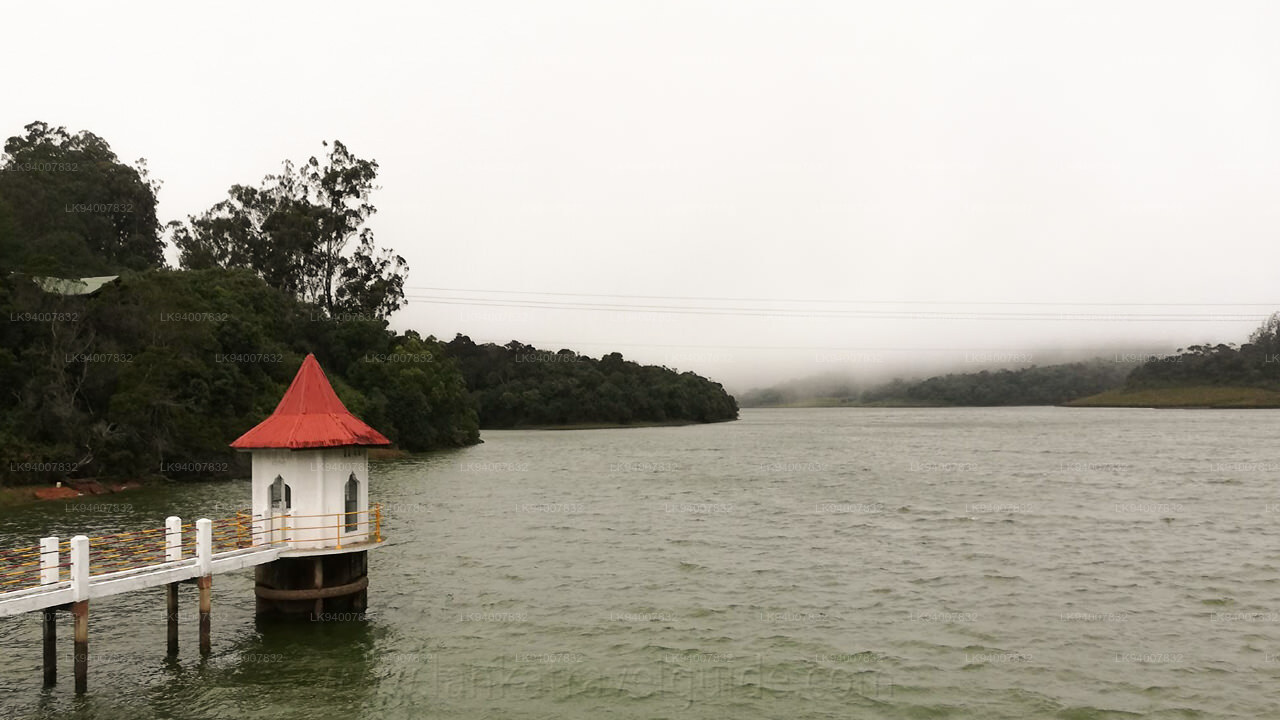
Excursions from Pattipola
- Hortain Plains(6km)
- Hakgala Botanical Gardens(14km)
- Hakgala Mountains(14km)
- Kande Ela Reservoir(12km)
- Conical Hill(16km)
- Hakgala Strict Nature Reserve(11km)
Special places in Badulla
-
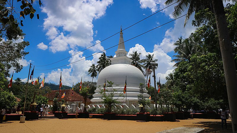 Muthiyangana Raja Maha Vihara
Muthiyanganaya Raja Maha Viharaya lies in the centre of the city of Badulla. The History of this temple goes back to the time of Buddha but this area around Badulla goes way back in to the time of 19th -18th century BCE.
-
 Dowa Raja Maha Viharaya
Dowa Raja Maha Viharaya (Dowa Cape Temple) lies few kilometres away from the Bandarawela town on the Bandarawela – Badulla Road. This temple is thought to be done by King Walagamba in the in first century BC.
-
 Bogoda Wooden Bridge
The Bogoda Wooden Bridge was built in the 16th century during the Dambadeniya era. This is said to be the oldest surviving wooden bridge in Sri Lanka. The bridge is situated at 7 kilometres (4.3 mi) west of Badulla.
-
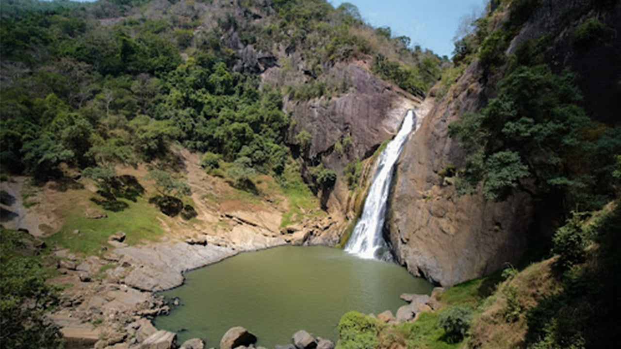 Dunhinda Falls
Dunhinda Falls is situated about 5 km away from Badulla town. It is 63 meters high and is considered to be one of the most beautiful waterfalls in Sri Lanka. The falls gets its name dew to the smoky dew drops spray.